Sheffield weather: More heavy rain and storms on the way as Met Office issues ANOTHER forecast warning
and live on Freeview channel 276
Earlier this week the forecaster released its long range outlook for August, with hopes that the city would be set for a heatwave from the middle of the month as high pressure begins to sweep in from Africa, boosting temperatures and ensuring long spells of warm sunshine and dry, settled weather.
But this brighter period is not set to start until at least August 16, meaning the current unsettled conditions are here to stay for a little while longer.
Advertisement
Hide AdAdvertisement
Hide AdThe Met Office had previously issued a yellow weather warning for thunderstorms for Friday, August 6, which was due to be in place from 10am until 11.59pm, however this has now been extended to 9am on Saturday.
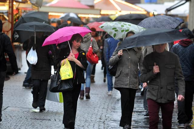


Experts say “slow moving thundery downpours” may cause “localised surface water impacts” while the warning is in force.
And now they have issued another yellow warning for today, Wednesday, August 4, for heavy rain, in force from 12pm until 9pm.
The Met Office says “heavy showers will develop, bringing possible travel disruption and flooding in a few areas”.
Advertisement
Hide AdAdvertisement
Hide AdThe highest chance of rain is currently in the late afternoon, with a 50 per cent chance at 4pm, rising to 70 per cent at 5pm.
There is also chance of a thundery showery during this period, with heavy rain expected for much of the day tomorrow, Thursday, too – amongst patches of sunshine and cloud.
There is still confidence in a drier, warmer, sunnier end to the month – but conditions are expected to stay rainy and unsettled for a while yet.
Forecast for the rest of the week
Wednesday, August 4 – Warnings in place for heavy showers, mainly in the late afternoon between 4 and 5pm, but sunny spells expected for much of the day. Highs of 21°C.
Advertisement
Hide AdAdvertisement
Hide AdThursday, August 5 – After a fine bright start to the day with light winds, cloud will increase through the morning as the breeze freshens. Showers developing through the afternoon, some heavy or thundery. Highs of 22 °C.
Friday, August 6 to Sunday, August 8 – Sunny spells and showers each day with a risk of thundery downpours each afternoon, perhaps with longer spells of rain Friday and Saturday. Becoming breezier. Temperatures a little below normal, with highs between 19 and 20°C.
Warning for rain – what to expect
Spray and flooding on roads probably making journey times longer
Bus and train services probably affected with journey times taking longer
Flooding of a few homes and businesses is possible
Advertisement
Hide AdAdvertisement
Hide AdSome interruption to power supplies and other services could occur
Protecting property from flooding
Flooding is dangerous and can happen very quickly. The effects can be devastating. There are a number of things you can do to prepare for flooding to keep yourself and your family safe, according to the Met Office.
These include preparing a “flood plan” - which includes keeping a list of useful contact numbers for emergencies and moving valuables – as well as making a “flood kit”, with items like a first aid kit, essentials like water, and insurance documents.
Find out more about staying safe and what to do here.
Comment Guidelines
National World encourages reader discussion on our stories. User feedback, insights and back-and-forth exchanges add a rich layer of context to reporting. Please review our Community Guidelines before commenting.