Forecasters issue yellow warning for rain in Sheffield with thunder and hail expected
and live on Freeview channel 276
The alert covering South Yorkshire and surrounding regions lasts from 9am to 10pm on June 27, warning of heavy showers and rain which may lead to flooding in a few places.
Forecasters say there is also a chance of extreme weather conditions as the day draws on, with hail expected to hit Sheffield around midday bringing thunderstorms shortly after.
Advertisement
Hide AdAdvertisement
Hide Ad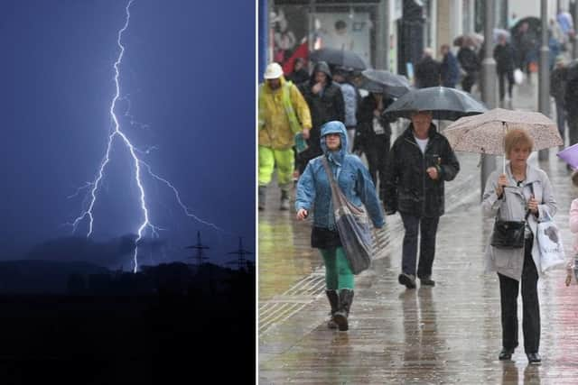

The Met Office Website says: “Bright or sunny intervals are expected, but showers will become frequent and occasionally heavy into the afternoon, with a chance of thunderstorms.
“Also becoming breezy and noticeably fresher. Maximum temperature 22 °C.”
Into tonight, showers will soon merge into persistent and heavy rain across the Pennines, where it will also become windy.
Elsewhere there will be generally cloudy conditions with the chance of occasional rain and a minimum temperature 10 °C.
Advertisement
Hide AdAdvertisement
Hide Ad
The wet weather looks to continue into Sunday with some heavy showers possible.
According to forecasters, there may also be some bright spells in between the cloud but it will be windy and will feel much cooler with a minimum temperature 16 °C.
Looking to next week, The Met Office added: “Monday windy, with rain across the Pennines eventually easing, elsewhere patchy rain.
“Tuesday and Wednesday lighter winds, and bright or sunny intervals and scattered showers. Generally rather cool.”